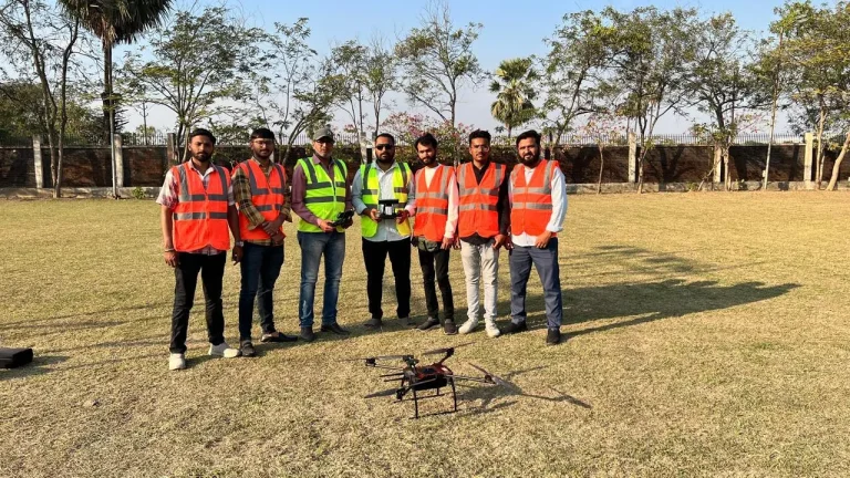
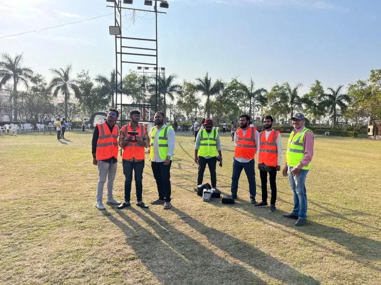
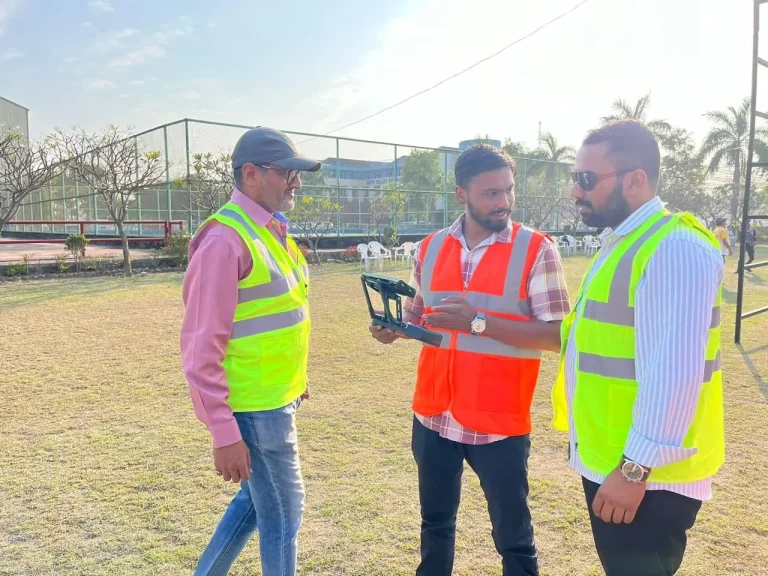
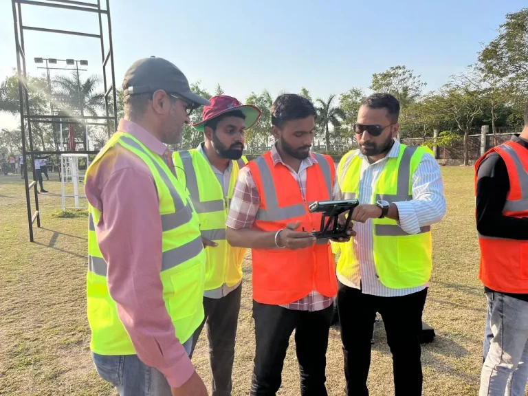
Master the art of land surveying with drones and unlock powerful skills in photogrammetry, GIS, and 3D modeling. This course prepares you for high-demand roles in construction, mining, infrastructure, and beyond — with real-world tools, techniques, and aerial data intelligence.
Value
Powered by Trusted Partnerships
See how we give training
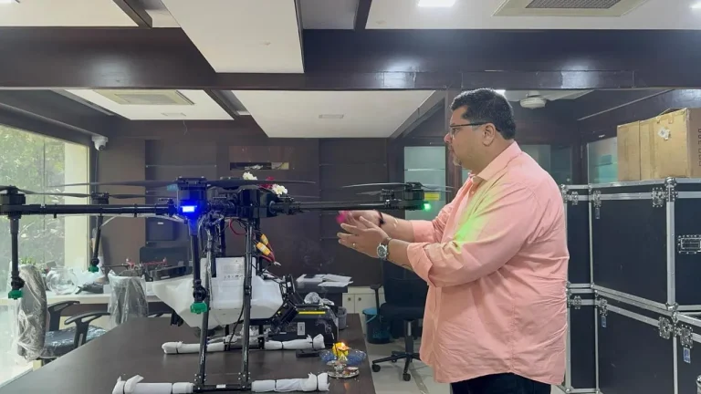
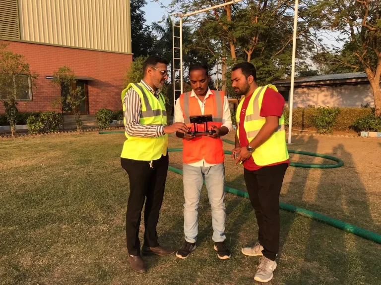
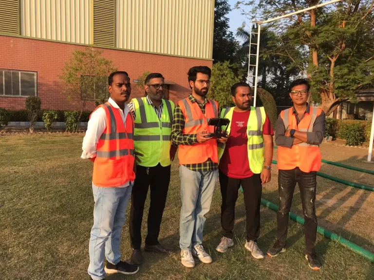
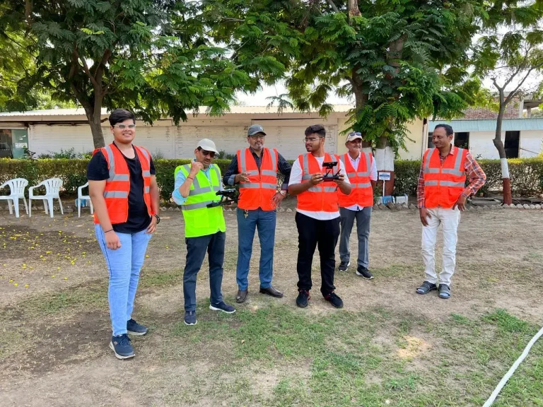
Real Training. Real Drones. Real Results.
Why choose this course
Benefits of Doing This Course
From accuracy to efficiency, here’s how drone mapping can redefine your career and skillset
In-Demand Skillset
Get equipped for high-paying surveying jobs in GIS, construction, and infrastructure sectors.
Boost Accuracy & Efficiency
Learn how drones reduce manual errors and accelerate large-scale mapping with unmatched precision
Industry-Relevant Curriculum
Curriculum aligned with real-world applications — from city planning to mining sites
Hands-On Practical Learning
Operate real surveying drones and gain field experience with advanced mapping tools
Career-Ready Certification
Earn credentials that give you a competitive edge with drone service providers and consultancies
Future-Proof Your Career
Build foundational knowledge in spatial data tech that supports long-term industry evolution
200+
UAV Pilots
Individuals empowered through hands-on drone training
50+
Batches Completed
Intensive training delivered in just a few focused days
10+
Certified Instructors
Led by experts with DGCA authorization and industry experience
400+
Flight Hours
Real-world drone flying practice under supervision
Why choose this course
What we will Teach You
This course combines aerial expertise with spatial data mastery. Here’s what you’ll learn inside the program
Principles of Photogrammetry
Understand how to extract precise spatial information from aerial images to create accurate maps and models
Creating High-Accuracy 2D Orthomosaics & 3D Models
Learn to stitch drone images into seamless 2D maps and build detailed 3D terrain models for land analysis
Learn GIS Data Integration & Volumetric Calculations
Explore how to integrate drone-captured data into GIS software, and perform calculations like cut-fill and area-volume measurements
Applications in Construction, Mining & Land Management
Apply drone surveying to real-world industries: track site progress, assess terrain, and optimize land use decisions
Got questions?
Ready to Fly? Let’s Talk!
Have questions or want to enroll? Fill out the form and our team will get back to you shortly with all the details you need
Got questions?
Frequently Asked Questions
Dive into our hands-on, industry-focused curriculum designed to take you from beginner to aerial cinematography pro step by step
Who can do this training?
Our training is designed for everyone, from complete beginners to experienced photographers and videographers looking to add aerial skills to their toolkit. As long as you are 18 years of age or older, up to 65 years of age, and have completed your 10th standard, you are welcome to join. No prior drone flying experience is necessary!
What if I don't have a drone of my own?
No problem at all! We provide all the necessary equipment, including a range of professional-grade drones for you to use throughout the training. This allows you to learn on industry-standard gear without any upfront investment.
Does the course include field or practical flying sessions?
Absolutely! Our curriculum is built around hands-on experience. You will spend a significant portion of the course in the field, conducting practical flying exercises under the direct supervision of our certified instructors. We believe the best way to learn is by doing.
Can I bring my own drone?
For safety, insurance, and training standardization purposes, we require all students to use the drones provided by our organization. Our curriculum is built around a specific set of industry-standard drones that are professionally maintained, regularly inspected, and fully insured for training activities.
What is the typical class size?
We keep our class sizes small to ensure every student gets personalized attention and maximum hands-on flight time. Typically, our classes have a low student-to-instructor ratio, with a maximum of 8-10 students per session. This allows our instructors to provide one-on-one guidance and tailor the instruction to your individual progress.
Will I receive a DGCA-recognized certificate upon completion?
Yes, absolutely. We are a DGCA (Directorate General of Civil Aviation) authorized Remote Pilot Training Organization (RPTO). Upon successful completion of the full course and passing the required assessments, you will be awarded a Remote Pilot Certificate (RPC).
Do you provide any post-course support or career guidance?
We are committed to your long-term success. After you complete the course, you will gain access to our exclusive alumni network, where you can connect with fellow pilots and our instructors. We also provide guidance on understanding the market, and share information on freelance or full-time opportunities that come to our attention from our industry partners. Your journey with us doesn’t end on graduation day.